CONTRIBUTED BY QUENTIN RICHARDSON
I was heading to check out Nirai Kanai Bridge in Nanjo-shi (the end of Pref. Route 86), and was detoured off the route due to construction. I wasn’t very pleased since the twists and turns led me off Route 86 a LONG distance away. Fontunely, I stumbled upon the famous “white signs” that ALWAYS led you to exciting landmarks.
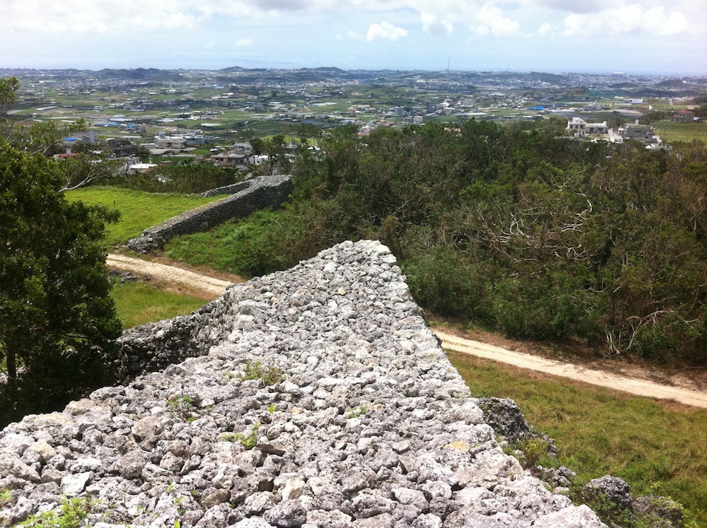
The detour ended up in Itokazu village and Pref. Route 48. Along this route I spotted a sign that read “Itokazu Ruins”. Since it was about mid-day with very clear skies, I figured why not. I quickly forgot about the bridge. I drove up the dirt road and was greeted by angular stacks of limestone that resembled a gate and a pretty large expanse. The ruins stretch out through a meadow atop a hill and greets vistors with a field of tall grass.
There are many historical structures and markings along the path to one of many entrances, but the first thing that attracted me to this site was the fact that you could climb to the top, and almost walk from end to end. You can stand on top of the ruins similar to Zakimi, and enjoy a really nice view (which I also love) of the ocean and nearby towns. And yes, I still ended up going to the bridge too.
Directions: There are two ways to get to this spot, but I’m going to reference the easy way of course. Using the Airport Expressway, use the Haebaru-Minami exit and turn left on to Highway 507. Stay in the left lane and merge on the on ramp for Pref. Route 48 heading for Nanjo. Turn left on to Pref. Route 48 and follow it until you reach the Itokazu Entrance Intersection and turn left (the white sign is hanging above the center of the intersection). Follow this road for a little over 1 km and the enterance appears as a sharp uphill ramp on your right. There will be a pole with 4 white signs in kanji and red arrows pointing right.


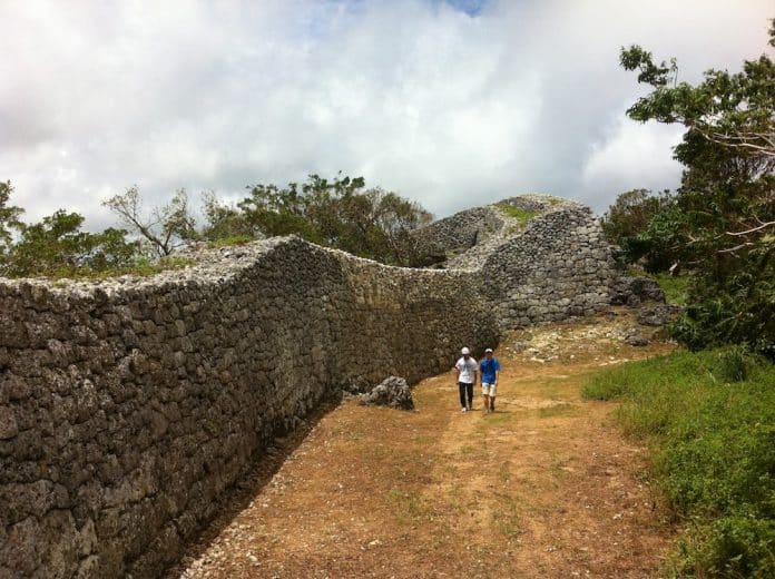
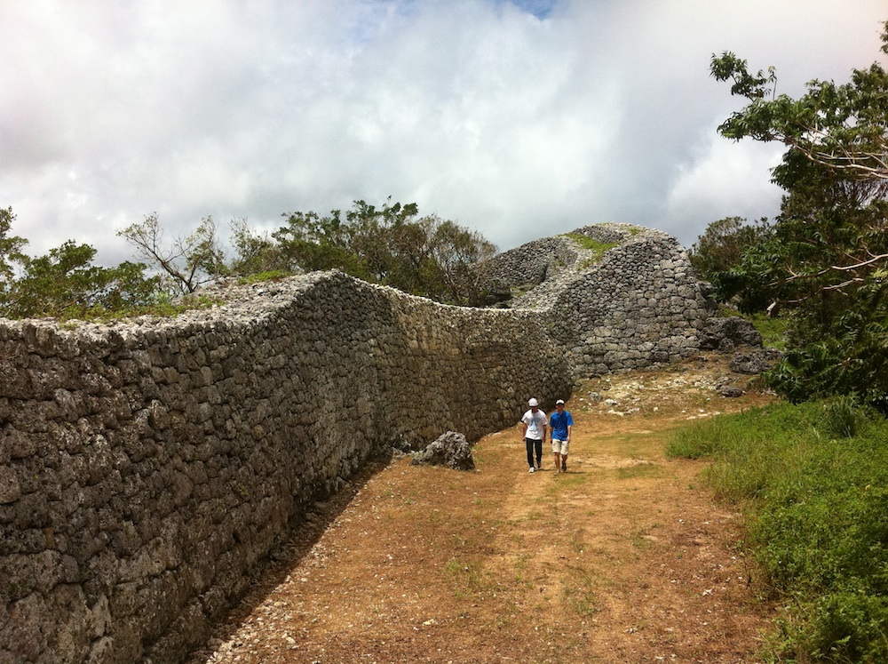
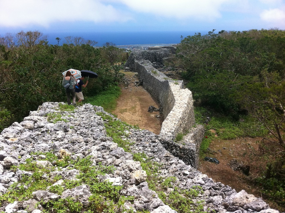
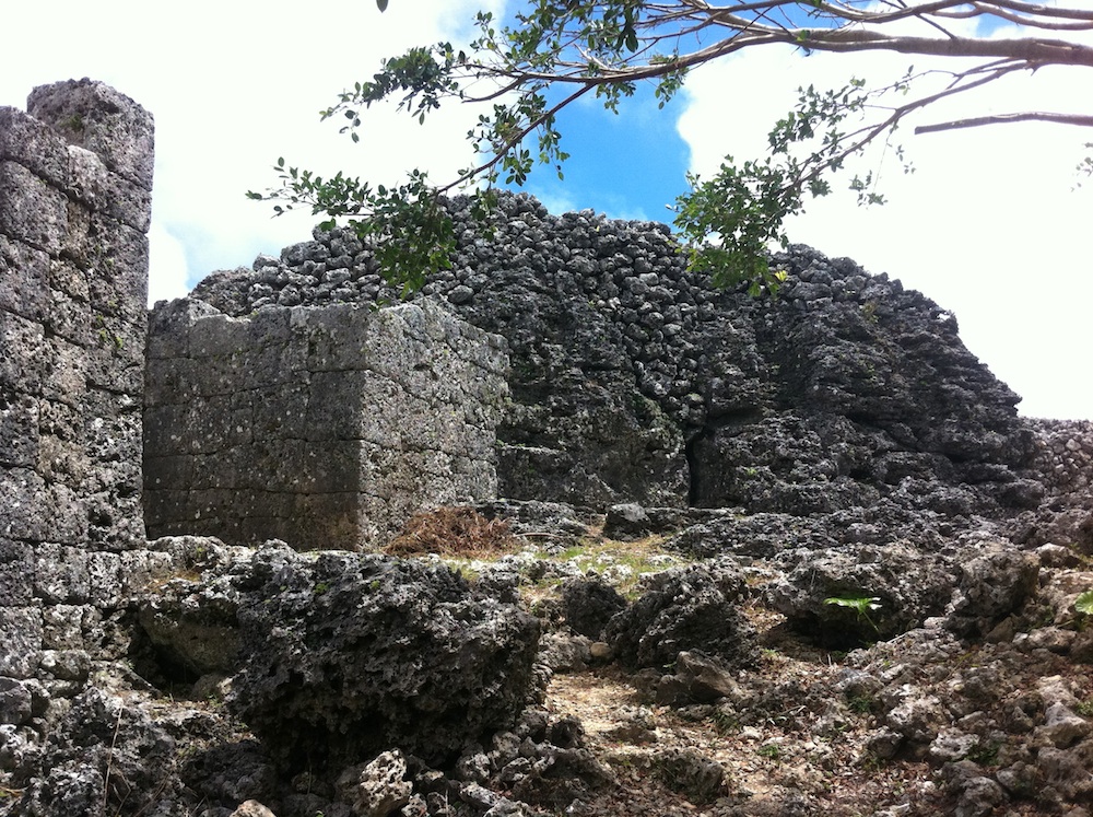
My son Thomas and I visited there today. We loved it. We want to go back in the winter to explore areas that were overgrown. The views were breathtaking and the walk along the top of the wall was worth the effort. The cave nearby is on our TO DO list. 🙂 I love OKINAWA!!! 🙂
The directions are still correct, except for one change (in caps below):
Directions: There are two ways to get to this spot, but I’m going to reference the easy way of course. Using the Airport Expressway, use the Haebaru-Minami exit and TURN LEFT on to Highway 507. Stay in the left lane and merge on the on ramp for Pref. Route 48 heading for Nanjo. Turn left on to Pref. Route 48 and follow it until you reach the Itokazu Entrance Intersection and turn left (the white sign is hanging above the center of the intersection). Follow this road for a little over 1 km and the enterance appears as a sharp uphill ramp on your right. There will be a pole with 4 white signs in kanji and red arrows pointing right.
My husband and I went here today and had a fantastic time. It’s also close to Ou Island, and it was really beautiful – perfect turquoise water, although not a beach. There were plenty of locals there harvesting seaweed.
Thanks for the correction! I have updated the directions in the post to reflect the correction.
would you post the other directions as well.